Map of Tadworth station, London
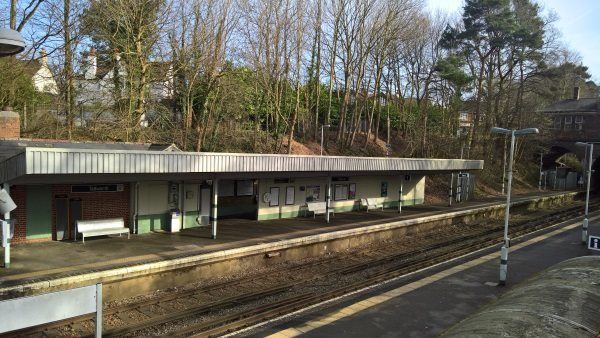
Tadworth station
| Postcode | KT20 5SP |
|---|
Transport
| Travel zone | 6 |
|---|---|
| Tube/Rail lines | |
| Next stations | |
| Nearby stations | |
| Bus stops |
Tadworth Railway Station (NE)
Tadworth Railway Station (SW)
Station Approach Road (NW)
Station Approach Road (SE)
The Lye (NE)
Ashurst Road (SE)
|
| Station code (TLC) | TAD |
| Station code (NLC) | 5386 |
| Owner | Govia Thameslink Railway (Southern) |
| National Rail Enquiries | |
Live Departures
Live Arrivals
Usage
Entries and exits
Interchanges
| Year | Entries and exits | Annual change % | Interchanges | Annual change % |
|---|---|---|---|---|
| 2025 | 209,262 | 10.7 % | ||
| 2024 | 189,068 | 9.1 % | ||
| 2023 | 173,358 | 34.7 % | ||
| 2022 | 128,680 | 124.6 % | ||
| 2021 | 57,286 | -79.7 % | ||
| 2020 | 282,540 | -0.8 % | ||
| 2019 | 284,824 | 9.7 % | ||
| 2018 | 259,690 | 2.4 % | ||
| 2017 | 253,504 | -21.7 % | ||
| 2016 | 323,788 | 16.6 % | ||
| 2015 | 277,776 | 1.7 % | ||
| 2014 | 273,236 | 4.8 % | ||
| 2013 | 260,744 | -1.5 % | ||
| 2012 | 264,828 | 7.0 % | ||
| 2011 | 247,420 | 5.5 % | ||
| 2010 | 234,450 | 1.1 % | ||
| 2009 | 232,012 | -5.0 % | ||
| 2008 | 244,276 | 10.0 % | ||
| 2007 | 222,144 | 13.8 % | ||
| 2006 | 195,290 | 12.9 % | ||
| 2005 | 173,027 |
Note: Data is for financial years, so 2020 is April 2019 to March 2020
Geography
| Latitude | 51.291636 | |
|---|---|---|
| Longitude | -0.235965 | |
| Easting | 523097 | |
| Northing | 156199 | |
| Grid reference | TQ230561 | |
| UTM reference | 30U 692716 5685885 | |
| what3words | ||
| Plus code | ||
| Distance away |
Postcodes
This map shows the postcodes where this station is the nearest to the postcode (as the crow flies)