Map of Chalk Farm station, London
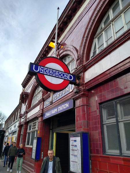
Chalk Farm station
| Postcode | NW3 2BP |
|---|
Transport
| Travel zone | 2 |
|---|---|
| Tube/Rail lines | |
| Next stations | |
| Nearby stations | |
| Bus stops |
Chalk Farm (NW)
Chalk Farm (SE)
Chalk Farm (W)
Haverstock Hill (W)
Prince of Wales Road Queen's Crescent (E)
The Roundhouse (W)
|
Geography
| Latitude | 51.544149 | |
|---|---|---|
| Longitude | -0.153733 | |
| Easting | 528126 | |
| Northing | 184421 | |
| Grid reference | TQ281844 | |
| UTM reference | 30U 697357 5714179 | |
| what3words | ||
| Plus code | ||
| Distance away |
Postcodes
This map shows the postcodes where this station is the nearest to the postcode (as the crow flies)