Map of Earlsfield station, London
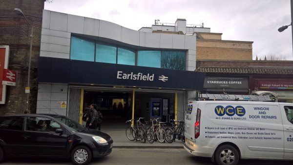
Earlsfield station
| Postcode | SW18 4SW |
|---|
Transport
| Travel zone | 3 |
|---|---|
| Tube/Rail lines | |
| Next stations | |
| Nearby stations | |
| Bus stops |
Penwith Road (NE)
Earlsfield (N)
Earlsfield Road (S)
Earlsfield (S)
Earlsfield Road (N)
Isis Street (N)
|
| Station code (TLC) | EAD |
| Station code (NLC) | 5584 |
| Owner | South Western Railway |
| National Rail Enquiries | |
Live Departures
Live Arrivals
Usage
Entries and exits
Interchanges
| Year | Entries and exits | Annual change % | Interchanges | Annual change % |
|---|---|---|---|---|
| 2025 | 5,569,216 | 8.4 % | ||
| 2024 | 5,138,168 | 8.5 % | ||
| 2023 | 4,734,232 | 13.2 % | ||
| 2022 | 4,183,656 | 134.5 % | ||
| 2021 | 1,783,872 | -72.6 % | ||
| 2020 | 6,519,066 | -5.2 % | ||
| 2019 | 6,878,604 | 4.9 % | ||
| 2018 | 6,555,768 | -8.9 % | ||
| 2017 | 7,196,944 | 0.4 % | ||
| 2016 | 7,170,386 | 9.4 % | ||
| 2015 | 6,553,176 | 5.1 % | ||
| 2014 | 6,233,208 | 9.4 % | ||
| 2013 | 5,696,028 | 2.2 % | ||
| 2012 | 5,574,120 | 3.0 % | ||
| 2011 | 5,413,230 | 11.1 % | ||
| 2010 | 4,871,090 | -1.5 % | ||
| 2009 | 4,945,100 | -12.2 % | ||
| 2008 | 5,629,557 | 2.0 % | ||
| 2007 | 5,517,274 | 100.2 % | ||
| 2006 | 2,756,054 | -3.5 % | ||
| 2005 | 2,855,681 |
Note: Data is for financial years, so 2020 is April 2019 to March 2020
Geography
| Latitude | 51.442336 | |
|---|---|---|
| Longitude | -0.187715 | |
| Easting | 526081 | |
| Northing | 173030 | |
| Grid reference | TQ260730 | |
| UTM reference | 30U 695437 5702768 | |
| what3words | ||
| Plus code | ||
| Distance away |
Postcodes
This map shows the postcodes where this station is the nearest to the postcode (as the crow flies)