Map of Holloway Road station, London
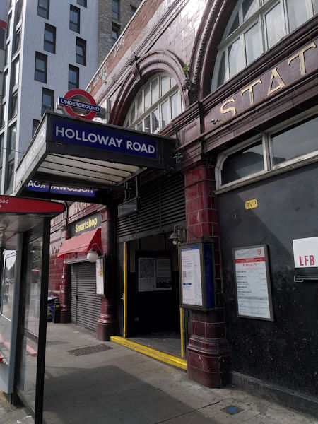
Holloway Road station
| Postcode | N7 8HS |
|---|
Transport
| Travel zone | 2 |
|---|---|
| Tube/Rail lines | |
| Next stations | |
| Nearby stations | |
| Bus stops |
Holloway Road Station (S)
Lowther Road (NE)
Liverpool Road (S)
Liverpool Road (N)
Lough Road (NE)
Tollington Road (S)
|
Geography
| Latitude | 51.552816 | |
|---|---|---|
| Longitude | -0.112936 | |
| Easting | 530930 | |
| Northing | 185457 | |
| Grid reference | TQ309854 | |
| UTM reference | 30U 700148 5715253 | |
| what3words | ||
| Plus code | ||
| Distance away |
Postcodes
This map shows the postcodes where this station is the nearest to the postcode (as the crow flies)