Map of Seven Sisters station, London
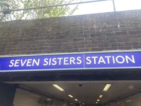
Photo: Dave W
Seven Sisters station
| Postcode | N15 5LA |
|---|
Transport
| Travel zone | 3 |
|---|---|
| Tube/Rail lines | |
| Next stations | |
| Nearby stations | |
| Bus stops |
Stonebridge RoadSeven Sisters (SW)
Elizabeth Road (SW)
Seven Sisters Station (W)
Elizabeth Road (NE)
Seven Sisters Road (N)
South Tottenham Station (N)
|
| Station code (TLC) | SVS |
| Station code (NLC) | 6931 |
| Owner | London Overground |
| National Rail Enquiries | |
Live Departures
Live Arrivals
Usage
Entries and exits
Interchanges
| Year | Entries and exits | Annual change % | Interchanges | Annual change % |
|---|---|---|---|---|
| 2025 | 8,394,182 | 11.0 % | 17 | -46.9 % |
| 2024 | 7,562,722 | 23.7 % | 32 | -98.4 % |
| 2023 | 6,113,494 | 13.2 % | 2,009 | -78.4 % |
| 2022 | 5,400,004 | 128.9 % | 9,293 | 81.2 % |
| 2021 | 2,358,898 | -70.3 % | 5,130 | -44.2 % |
| 2020 | 7,931,592 | -5.5 % | 9,194 | -6.0 % |
| 2019 | 8,394,772 | 2.8 % | 9,786 | -1.8 % |
| 2018 | 8,168,998 | 2.3 % | 9,966 | -69.3 % |
| 2017 | 7,986,706 | 8.4 % | 32,455 | 353.3 % |
| 2016 | 7,371,016 | 66.1 % | 7,159 | -42.0 % |
| 2015 | 4,438,440 | 18.5 % | 12,334 | 9.5 % |
| 2014 | 3,744,154 | 9.3 % | 11,269 | 26.7 % |
| 2013 | 3,426,108 | 12.4 % | 8,896 | 10.1 % |
| 2012 | 3,049,236 | 16.5 % | 8,082 | -45.0 % |
| 2011 | 2,617,377 | 23.0 % | 14,685 | 101.9 % |
| 2010 | 2,128,415 | -4.0 % | 7,275 | 58.3 % |
| 2009 | 2,216,260 | -8.0 % | 4,595 | -4.3 % |
| 2008 | 2,410,259 | -6.8 % | 4,799 | -28.7 % |
| 2007 | 2,586,248 | 6,734 | ||
| 2006 | ||||
| 2005 |
Note: Data is for financial years, so 2020 is April 2019 to March 2020
Geography
| Latitude | 51.582266 | |
|---|---|---|
| Longitude | -0.07527 | |
| Easting | 533646 | |
| Northing | 188927 | |
| Grid reference | TQ336889 | |
| UTM reference | 30U 702627 5718631 | |
| what3words | ||
| Plus code | ||
| Distance away |
Postcodes
This map shows the postcodes where this station is the nearest to the postcode (as the crow flies)