Map of Upper Halliford station
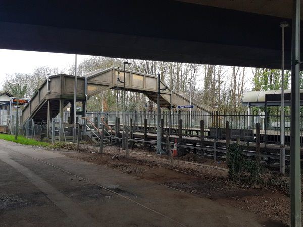
Upper Halliford station
| Postcode | TW16 7HB |
|---|
Transport
| Nearby stations | |
|---|---|
| Bus stops |
Peregrine Road (E)
Upper Halliford Railway Station (N)
Peregrine Road (W)
Vincent Drive (S)
Vincent Drive (N)
Bishop Wand School (E)
|
| Station code (TLC) | UPH |
| Station code (NLC) | 5613 |
| Owner | South Western Railway |
| National Rail Enquiries | |
Live Departures
Live Arrivals
Usage
Entries and exits
Interchanges
| Year | Entries and exits | Annual change % | Interchanges | Annual change % |
|---|---|---|---|---|
| 2025 | 106,454 | 14.0 % | ||
| 2024 | 93,410 | 22.1 % | ||
| 2023 | 76,514 | 57.1 % | ||
| 2022 | 48,714 | 98.4 % | ||
| 2021 | 24,554 | -79.2 % | ||
| 2020 | 117,876 | -8.9 % | ||
| 2019 | 129,378 | 3.4 % | ||
| 2018 | 125,180 | 0.6 % | ||
| 2017 | 124,384 | -4.9 % | ||
| 2016 | 130,756 | -2.8 % | ||
| 2015 | 134,534 | 8.6 % | ||
| 2014 | 123,850 | -5.4 % | ||
| 2013 | 130,920 | 1.0 % | ||
| 2012 | 129,614 | 0.7 % | ||
| 2011 | 128,724 | 3.0 % | ||
| 2010 | 125,000 | -16.2 % | ||
| 2009 | 149,216 | -11.6 % | ||
| 2008 | 168,789 | 22.4 % | ||
| 2007 | 137,870 | -4.2 % | ||
| 2006 | 143,933 | 4.0 % | ||
| 2005 | 138,400 |
Note: Data is for financial years, so 2020 is April 2019 to March 2020
Geography
| Latitude | 51.413066 | |
|---|---|---|
| Longitude | -0.430906 | |
| Easting | 509219 | |
| Northing | 169395 | |
| Grid reference | TQ092693 | |
| UTM reference | 30U 678653 5698892 | |
| what3words | ||
| Plus code | ||
| Distance away |
Postcodes
This map shows the postcodes where this station is the nearest to the postcode (as the crow flies)