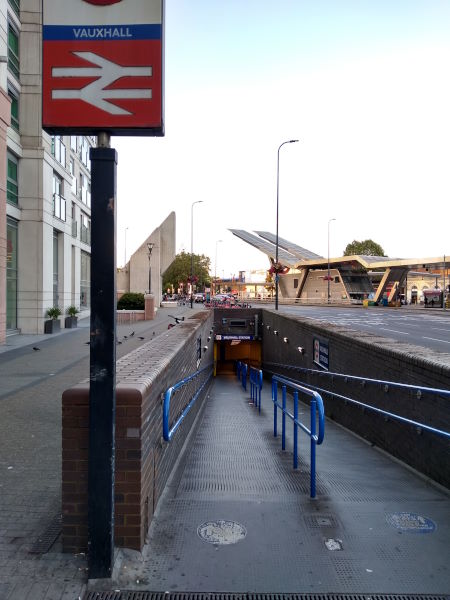
Map of Vauxhall station, London
Vauxhall station
| Postcode | SW8 1SR |
|---|
Transport
| Travel zone | 1,2 |
|---|---|
| Tube/Rail lines | |
| Next stations | |
| Nearby stations | |
| Bus stops |
Vauxhall Cross (N)
Vauxhall Bus Station (N)
Vauxhall Cross (S)
Vauxhall Bus Station (S)
Vauxhall Bus Station (S)
Vauxhall Bus Station (S)
|
| Station code (TLC) | VXH |
| Station code (NLC) | 5597 |
| Owner | South Western Railway |
| National Rail Enquiries | |
Live Departures
Live Arrivals
Usage
Entries and exits
Interchanges
| Year | Entries and exits | Annual change % | Interchanges | Annual change % |
|---|---|---|---|---|
| 2025 | 15,534,168 | 11.5 % | ||
| 2024 | 13,931,936 | 7.1 % | ||
| 2023 | 13,012,334 | 11.7 % | ||
| 2022 | 11,651,250 | 133.6 % | ||
| 2021 | 4,986,700 | -75.1 % | ||
| 2020 | 19,997,264 | -4.8 % | ||
| 2019 | 21,009,688 | 1.9 % | ||
| 2018 | 20,618,840 | -8.3 % | ||
| 2017 | 22,482,878 | 7.4 % | ||
| 2016 | 20,931,940 | -0.9 % | ||
| 2015 | 21,111,416 | 8.8 % | ||
| 2014 | 19,401,716 | 1.8 % | ||
| 2013 | 19,065,534 | 5.0 % | ||
| 2012 | 18,158,186 | 9.8 % | ||
| 2011 | 16,531,941 | 11.7 % | ||
| 2010 | 14,806,644 | 1.5 % | ||
| 2009 | 14,581,929 | -5.4 % | ||
| 2008 | 15,419,867 | 47.3 % | ||
| 2007 | 10,468,510 | 36.2 % | ||
| 2006 | 7,686,894 | -3.3 % | ||
| 2005 | 7,952,448 |
Note: Data is for financial years, so 2020 is April 2019 to March 2020
Geography
| Latitude | 51.486188 | |
|---|---|---|
| Longitude | -0.12289 | |
| Easting | 530366 | |
| Northing | 177978 | |
| Grid reference | TQ303779 | |
| UTM reference | 30U 699749 5707818 | |
| what3words | ||
| Plus code | ||
| Distance away |
Postcodes
This map shows the postcodes where this station is the nearest to the postcode (as the crow flies)