Map of Whitton station, London
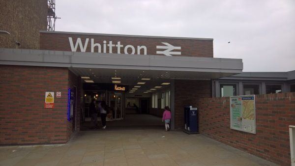
Whitton station
| Postcode | TW2 7LG |
|---|
Transport
| Travel zone | 5 |
|---|---|
| Tube/Rail lines | |
| Next stations | |
| Nearby stations | |
| Bus stops |
Whitton Station (S)
Whitton High Street (S)
Whitton High Street (N)
Pauline Crescent (N)
Pauline Crescent (S)
Whitton Library (W)
|
| Station code (TLC) | WTN |
| Station code (NLC) | 5611 |
| Owner | South Western Railway |
| National Rail Enquiries | |
Live Departures
Live Arrivals
Usage
Entries and exits
Interchanges
| Year | Entries and exits | Annual change % | Interchanges | Annual change % |
|---|---|---|---|---|
| 2025 | 1,291,066 | 12.4 % | ||
| 2024 | 1,148,310 | 13.7 % | ||
| 2023 | 1,009,942 | 29.1 % | ||
| 2022 | 782,374 | 157.2 % | ||
| 2021 | 304,166 | -79.2 % | ||
| 2020 | 1,460,964 | -6.9 % | ||
| 2019 | 1,569,650 | 11.1 % | ||
| 2018 | 1,412,916 | 1.4 % | ||
| 2017 | 1,393,578 | 1.6 % | ||
| 2016 | 1,371,654 | -5.2 % | ||
| 2015 | 1,446,836 | 4.4 % | ||
| 2014 | 1,386,408 | 4.6 % | ||
| 2013 | 1,325,308 | 3.4 % | ||
| 2012 | 1,282,258 | 1.6 % | ||
| 2011 | 1,261,926 | 3.0 % | ||
| 2010 | 1,225,132 | -3.3 % | ||
| 2009 | 1,267,086 | -2.8 % | ||
| 2008 | 1,304,130 | 7.1 % | ||
| 2007 | 1,217,844 | 54.9 % | ||
| 2006 | 786,410 | 3.0 % | ||
| 2005 | 763,860 |
Note: Data is for financial years, so 2020 is April 2019 to March 2020
Geography
| Latitude | 51.449606 | |
|---|---|---|
| Longitude | -0.357681 | |
| Easting | 514220 | |
| Northing | 173568 | |
| Grid reference | TQ142735 | |
| UTM reference | 30U 683598 5703136 | |
| what3words | ||
| Plus code | ||
| Distance away |
Postcodes
This map shows the postcodes where this station is the nearest to the postcode (as the crow flies)