Map of Battersea Park station, London
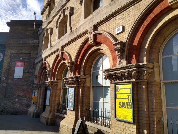
Battersea Park station
| Postcode | SW8 4NB |
|---|
Transport
| Travel zone | 2 |
|---|---|
| Tube/Rail lines | |
| Next stations | |
| Nearby stations | |
| Bus stops |
Battersea Park Station (SW)
Battersea Park Station (S)
Battersea Park Station (N)
Battersea Park Station (W)
Battersea Medical Centre (E)
Queenstown Road Battersea (NE)
|
| Station code (TLC) | BAK |
| Station code (NLC) | 5420 |
| Owner | Govia Thameslink Railway (Southern) |
| National Rail Enquiries | |
Live Departures
Live Arrivals
Usage
Entries and exits
Interchanges
| Year | Entries and exits | Annual change % | Interchanges | Annual change % |
|---|---|---|---|---|
| 2024 | 1,892,662 | 37.8 % | 4,995 | 11.5 % |
| 2023 | 1,373,794 | 12.9 % | 4,479 | 1253.2 % |
| 2022 | 1,216,900 | 64.3 % | 331 | 117.8 % |
| 2021 | 740,580 | -66.4 % | 152 | -71.3 % |
| 2020 | 2,203,142 | 10.5 % | 530 | -33.1 % |
| 2019 | 1,993,298 | 10.6 % | 792 | -74.8 % |
| 2018 | 1,802,574 | 1.1 % | 3,146 | -48.8 % |
| 2017 | 1,782,560 | -15.3 % | 6,146 | 59.3 % |
| 2016 | 2,105,048 | -12.9 % | 3,858 | 2.7 % |
| 2015 | 2,417,214 | 0.6 % | 3,758 | -1.8 % |
| 2014 | 2,402,604 | 3.3 % | 3,825 | -89.2 % |
| 2013 | 2,325,476 | -5.8 % | 35,294 | -63.1 % |
| 2012 | 2,469,904 | 7.5 % | 95,745 | 21.9 % |
| 2011 | 2,297,250 | 23.8 % | 78,545 | 16.6 % |
| 2010 | 1,856,048 | 7.0 % | 67,365 | 36.8 % |
| 2009 | 1,735,280 | 5.8 % | 49,259 | 200.9 % |
| 2008 | 1,639,539 | -6.9 % | 16,371 | -6.6 % |
| 2007 | 1,761,522 | 80.9 % | 17,531 | 105.6 % |
| 2006 | 973,657 | 2.8 % | 8,525 | 74.1 % |
| 2005 | 947,543 | 4,898 |
Note: Data is for financial years, so 2020 is April 2019 to March 2020
Geography
| Latitude | 51.476958 | |
|---|---|---|
| Longitude | -0.147534 | |
| Easting | 528703 | |
| Northing | 176999 | |
| Grid reference | TQ287769 | |
| UTM reference | 30U 698079 5706725 | |
| what3words | ||
| Plus code | ||
| Distance away |
Postcodes
This map shows the postcodes where this station is the nearest to the postcode (as the crow flies)