Map of Isleworth station, London
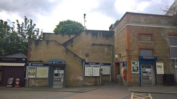
Isleworth station
| Postcode | TW7 4BX |
|---|
Transport
| Travel zone | 4 |
|---|---|
| Tube/Rail lines | |
| Next stations | |
| Nearby stations | |
| Bus stops |
Isleworth (W)
Isleworth Station Rennels Way (S)
St John The Baptist (SE)
Isleworth Station Rennels Way (N)
Woodlands Road (NW)
Linkfield Road (E)
|
| Station code (TLC) | ISL |
| Station code (NLC) | 5592 |
| Owner | South Western Railway |
| National Rail Enquiries | |
Live Departures
Live Arrivals
Usage
Entries and exits
Interchanges
| Year | Entries and exits | Annual change % | Interchanges | Annual change % |
|---|---|---|---|---|
| 2025 | 956,838 | 8.9 % | ||
| 2024 | 878,392 | 12.6 % | ||
| 2023 | 780,304 | 12.0 % | ||
| 2022 | 697,004 | 89.5 % | ||
| 2021 | 367,820 | -71.8 % | ||
| 2020 | 1,303,428 | -6.8 % | ||
| 2019 | 1,398,884 | 1.7 % | ||
| 2018 | 1,375,112 | -4.9 % | ||
| 2017 | 1,446,230 | 0.3 % | ||
| 2016 | 1,441,654 | 17.2 % | ||
| 2015 | 1,229,968 | 6.8 % | ||
| 2014 | 1,152,028 | 2.3 % | ||
| 2013 | 1,126,534 | 5.8 % | ||
| 2012 | 1,065,048 | 8.7 % | ||
| 2011 | 979,396 | 15.4 % | ||
| 2010 | 848,790 | 4.5 % | ||
| 2009 | 812,626 | -4.4 % | ||
| 2008 | 849,918 | 25.5 % | ||
| 2007 | 677,139 | 123.6 % | ||
| 2006 | 302,887 | 14.5 % | ||
| 2005 | 264,437 |
Note: Data is for financial years, so 2020 is April 2019 to March 2020
Geography
| Latitude | 51.474762 | |
|---|---|---|
| Longitude | -0.336907 | |
| Easting | 515570 | |
| Northing | 176430 | |
| Grid reference | TQ155764 | |
| UTM reference | 30U 684939 5705985 | |
| what3words | ||
| Plus code | ||
| Distance away |
Postcodes
This map shows the postcodes where this station is the nearest to the postcode (as the crow flies)