Map of Kensal Rise station, London
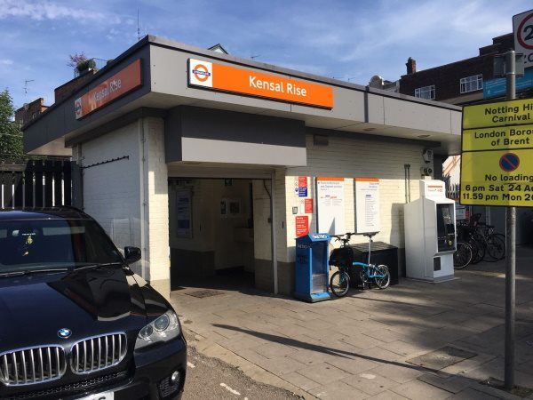
Photo: Martin W
Kensal Rise station
| Postcode | NW10 3NT |
|---|
Transport
| Travel zone | 2 |
|---|---|
| Tube/Rail lines | |
| Next stations | |
| Nearby stations | |
| Bus stops |
Kensal Rise Station (S)
Kensal Rise Station (N)
Station Terrace (S)
Whitmore Gardens (S)
Liddell Gardens (W)
Okehampton Road (S)
|
| Station code (TLC) | KNR |
| Station code (NLC) | 1448 |
| Owner | London Overground |
| National Rail Enquiries | |
Live Departures
Live Arrivals
Usage
Entries and exits
Interchanges
| Year | Entries and exits | Annual change % | Interchanges | Annual change % |
|---|---|---|---|---|
| 2024 | 2,554,468 | 16.2 % | ||
| 2023 | 2,198,562 | 14.0 % | ||
| 2022 | 1,929,358 | 75.5 % | ||
| 2021 | 1,099,580 | -58.2 % | ||
| 2020 | 2,632,108 | -6.2 % | ||
| 2019 | 2,807,424 | 3.6 % | ||
| 2018 | 2,710,748 | 0.4 % | ||
| 2017 | 2,700,132 | -1.4 % | ||
| 2016 | 2,738,450 | -4.9 % | ||
| 2015 | 2,880,916 | 4.0 % | ||
| 2014 | 2,771,234 | 24.2 % | ||
| 2013 | 2,231,046 | 27.8 % | ||
| 2012 | 1,746,296 | 51.3 % | ||
| 2011 | 1,154,302 | 57.9 % | ||
| 2010 | 731,136 | -4.7 % | ||
| 2009 | 767,154 | -23.0 % | ||
| 2008 | 996,062 | 4.7 % | ||
| 2007 | 951,621 | 374.6 % | ||
| 2006 | 200,527 | 0.2 % | ||
| 2005 | 200,061 |
Note: Data is for financial years, so 2020 is April 2019 to March 2020
Geography
| Latitude | 51.534553 | |
|---|---|---|
| Longitude | -0.219957 | |
| Easting | 523501 | |
| Northing | 183201 | |
| Grid reference | TQ235832 | |
| UTM reference | 30U 692807 5712935 | |
| what3words | ||
| Plus code | ||
| Distance away |
Postcodes
This map shows the postcodes where this station is the nearest to the postcode (as the crow flies)