Map of Southwark station, London
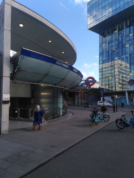
Southwark station
| Postcode | SE1 8NW |
|---|
Transport
| Travel zone | 1 |
|---|---|
| Tube/Rail lines | |
| Next stations | |
| Nearby stations | |
| Bus stops |
Southwark Station (S)
Pocock Street (N)
Pocock Street (S)
Stamford Street (S)
Stamford Street (N)
Kings Reach Building (W)
|
Geography
| Latitude | 51.503853 | |
|---|---|---|
| Longitude | -0.105795 | |
| Easting | 531566 | |
| Northing | 180025 | |
| Grid reference | TQ315800 | |
| UTM reference | 30U 700858 5709829 | |
| what3words | ||
| Plus code | ||
| Distance away |
Postcodes
This map shows the postcodes where this station is the nearest to the postcode (as the crow flies)