Map of Waterloo East station, London
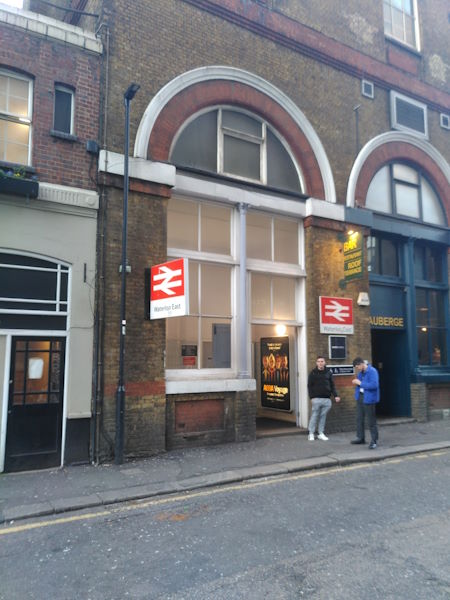
Waterloo East station
| Postcode | SE1 8NH |
|---|
Transport
| Travel zone | 1 |
|---|---|
| Tube/Rail lines | |
| Next stations | |
| Nearby stations | |
| Bus stops |
Coin Street (E)
Waterloo Station Waterloo Rd (S)
The Old Vic (S)
The Old Vic (N)
Waterloo Station Waterloo Rd (N)
Baylis Road Lower Marsh (N)
|
| Station code (TLC) | WAE |
| Station code (NLC) | 5158 |
| Owner | Southeastern |
| National Rail Enquiries | |
Live Departures
Live Arrivals
Usage
Entries and exits
Interchanges
| Year | Entries and exits | Annual change % | Interchanges | Annual change % |
|---|---|---|---|---|
| 2024 | 5,676,302 | 4.5 % | 691,923 | 8.0 % |
| 2023 | 5,429,884 | 6.3 % | 640,797 | 15.0 % |
| 2022 | 5,109,356 | 132.8 % | 557,411 | 118.9 % |
| 2021 | 2,194,470 | -78.2 % | 254,653 | -70.5 % |
| 2020 | 10,075,282 | -4.1 % | 863,294 | -0.7 % |
| 2019 | 10,506,762 | 5.8 % | 869,174 | 5.1 % |
| 2018 | 9,931,272 | -3.8 % | 826,653 | -27.0 % |
| 2017 | 10,324,542 | 4.1 % | 1,132,947 | 3.4 % |
| 2016 | 9,920,648 | 26.0 % | 1,096,005 | -20.4 % |
| 2015 | 7,871,882 | 7.7 % | 1,376,610 | -11.3 % |
| 2014 | 7,307,452 | 7.6 % | 1,551,464 | 2.8 % |
| 2013 | 6,793,930 | 2.1 % | 1,509,876 | 4.1 % |
| 2012 | 6,653,432 | 0.2 % | 1,450,153 | 62.7 % |
| 2011 | 6,637,737 | 2.2 % | 891,048 | 11.4 % |
| 2010 | 6,497,704 | -3.1 % | 799,913 | -10.2 % |
| 2009 | 6,707,128 | 2.6 % | 891,236 | -9.2 % |
| 2008 | 6,537,245 | 3.3 % | 981,051 | 20.8 % |
| 2007 | 6,328,853 | 29.1 % | 811,994 | 20.2 % |
| 2006 | 4,904,157 | -0.0 % | 675,357 | 3.8 % |
| 2005 | 4,905,257 | 650,808 |
Note: Data is for financial years, so 2020 is April 2019 to March 2020
Geography
| Latitude | 51.504075 | |
|---|---|---|
| Longitude | -0.108898 | |
| Easting | 531332 | |
| Northing | 180054 | |
| Grid reference | TQ313800 | |
| UTM reference | 30U 700642 5709845 | |
| what3words | ||
| Plus code | ||
| Distance away |
Postcodes
This map shows the postcodes where this station is the nearest to the postcode (as the crow flies)